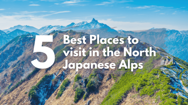
Summary
For anyone who loves trekking, mountain climbing or the outdoor, please gather here! Kamikochi has so much more to offer than just Kappa Bridge. In this blog, We’ll take everyone on a mountain climbing journey to “Mt. Yake” (or Yakedake), an active volcano of the Northern Alps located 2,455m above sea level. Mt. Yake can be climbed as a day trip, so it’s very popular as it serves as an introduction to the Northern Alps.
Basic Information
Distance: 8.8 km
Elevation Gain: 921 m
Time Required: 5.5~6 hours(excl. break time)
About Mt. Yake
Mt. Yake is located on the main ridge line of the Hida Mountains and is a mountain with an altitude of 2,455m that spans across the Nagano Prefecture and Gifu Prefecture and has 2 peaks (the North and South). It was also selected as one of the 100 Famous Japanese Mountains by mountaineer and author Kyuya Fukuda and was the only one of those famous mountains where climbing was prohibited until 1991.
Taisho Pond, the most popular sightseeing spot after Kappa Bridge, was created in June 1915 after Mt. Yake’s great eruption dammed up the Azusa River. A volcanic eruption in itself is a terrible natural disaster, but because natural disasters like this one happen, many wonderful sceneries around the world are born.
Fun Fact! Nagano Prefecture is the prefecture with the most mountains of the 100 Famous Japanese Mountains. If you count the mountains on the prefectural border, there are no less than 31!

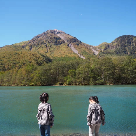
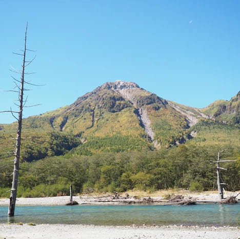
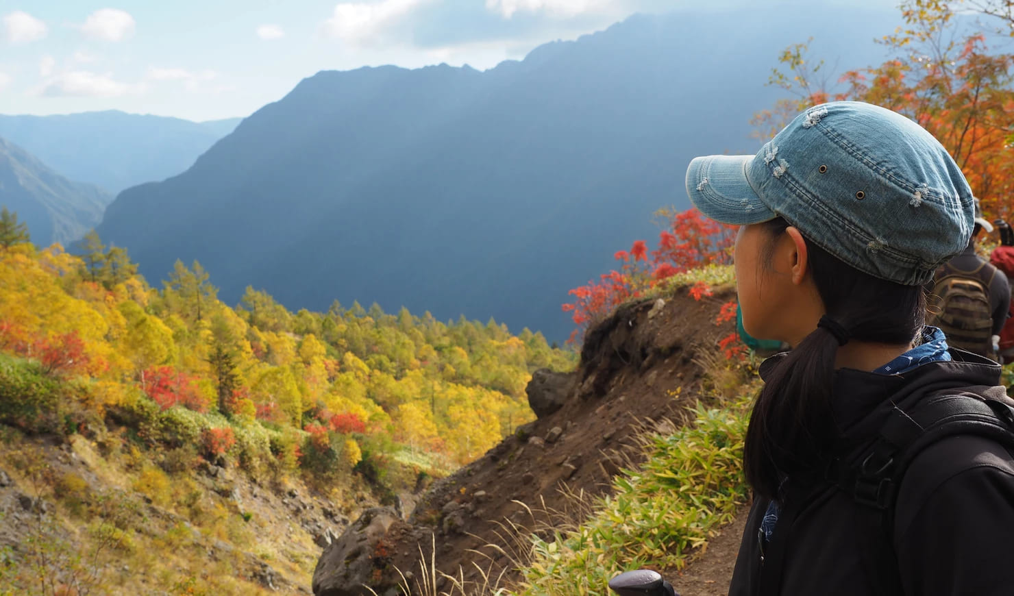
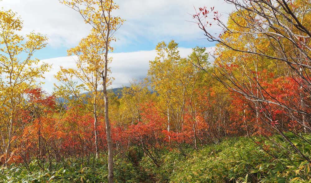
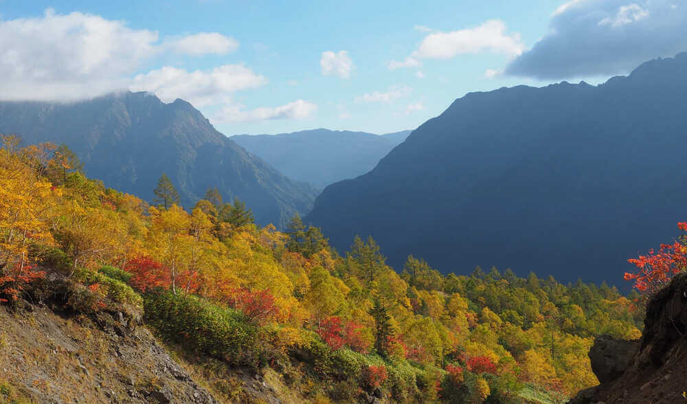
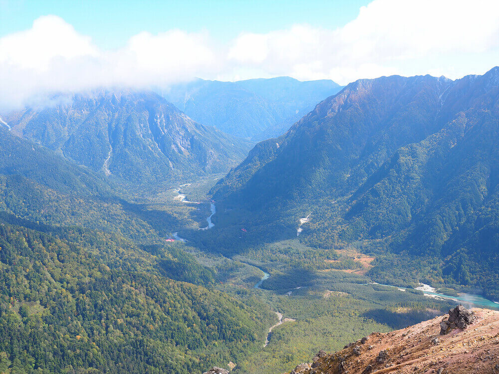
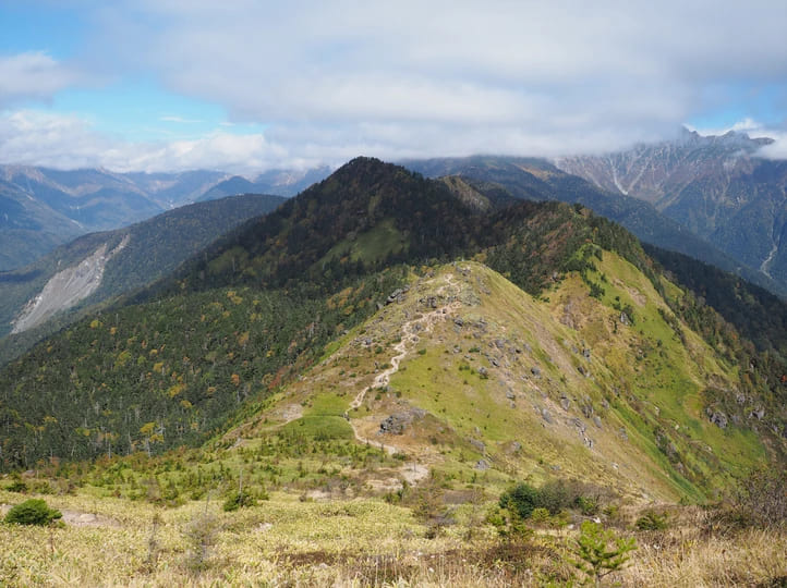
The scenery of Mt. Yake from several viewpoints
How to Get to the Trailhead
This is how you get to the trailhead if you climb from Shin-Naka no Yu side.
1. By car: While there is a parking space near the trail head on the Shin-Naka no Yu side, there’s only room for a couple of cars, so we recommend you come by taxi. It costs around 4,000 yen from Sawando.(See map)
*For taxi reservations, please contact us through our homepage.
2. By Bus: If coming by bus, get off at the bus stop K-26 Nakanoyu, and then walk for 40 minutes up the slope beside the road until you get to the trailhead.
Climbing the Sleeping Beauty: Mt. Yake 2,455m
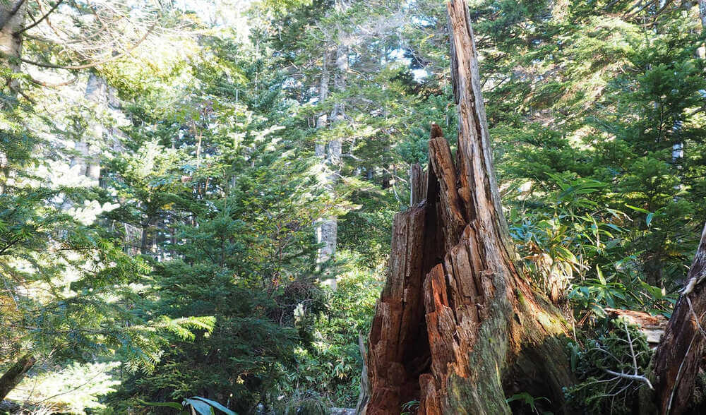
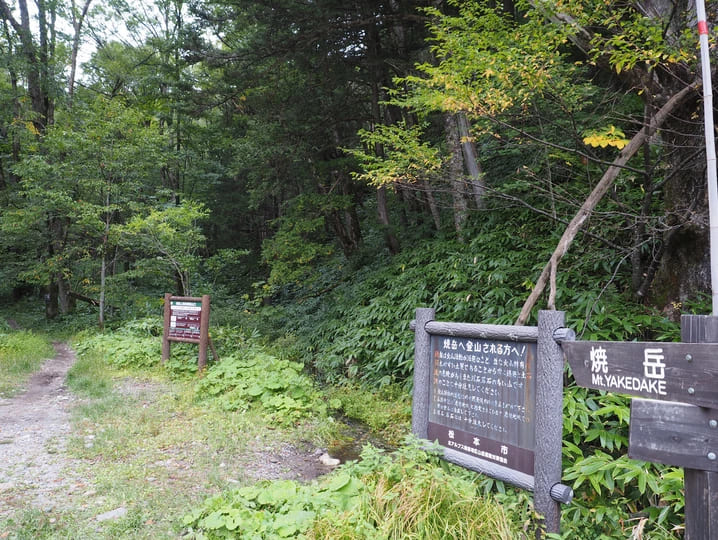
There are several mountain climbing routes for Mt. Yake, but the one we are going to introduce in this blog post is the inner route going from Shin-Naka no Yu to Kamikochi. At 5:45, we started from the trailhead located at an altitude of 1,340 m. At the beginning of mountain trail has a lot of tree roots and this forest area continues for a while.
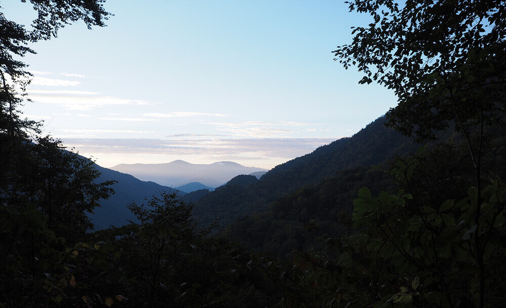
Feeling fresh and energized seeing the morning scenery before starting off.

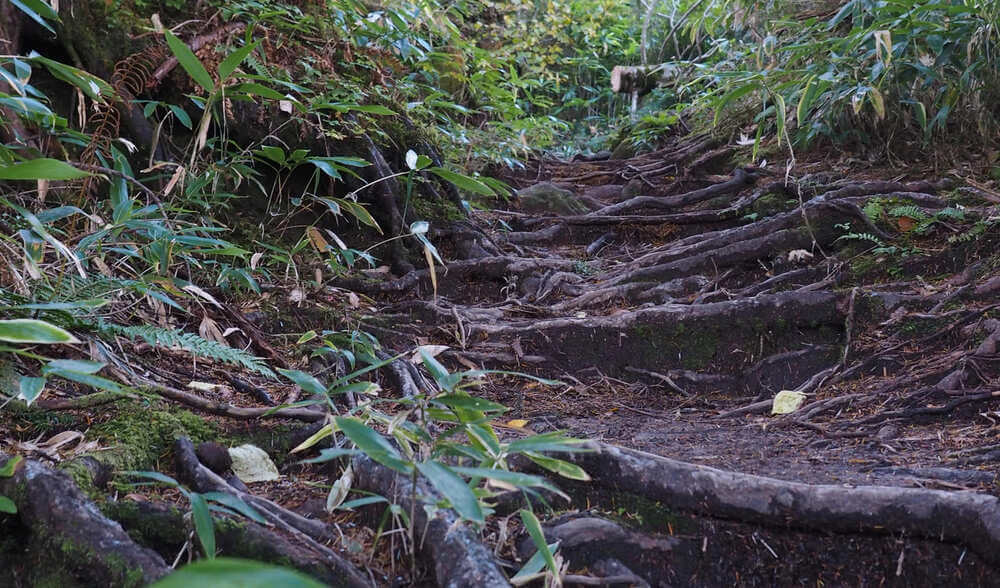
The trailhead and the beginning of the trail.
After climbing for about an hour, you will gradually start to see some autumn foliage. The photos of this blog have been taken on October 2, which is the perfect time to view the autumn foliage. No matter where you point the camera, the scenery is full of beautifully colored leaves of red, yellow and orange.

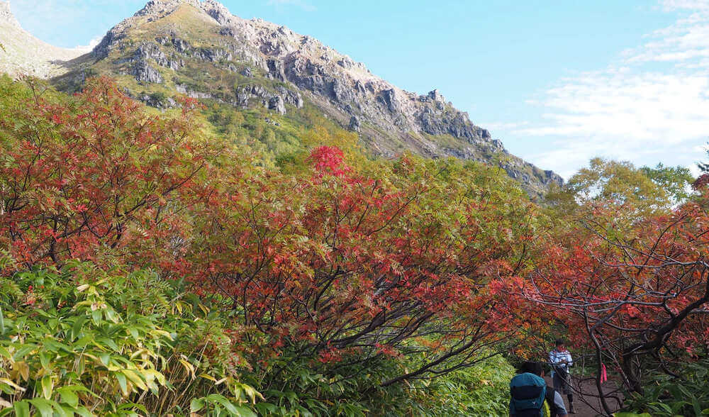
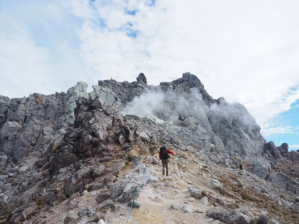
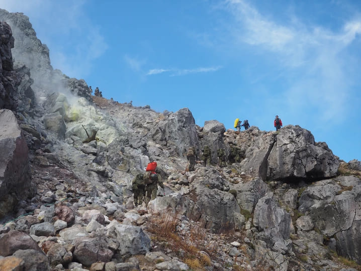
When going further than that, trees will become fewer and you will pass by a continuing flow of wooden ladders and large rocks. The rocks are marked with road signs such as a circle (〇) for the right road and a cross(×)for the wrong one, so keep an eye on the marks as you continue to climb.

This scenery’s contrast between the rising smoke from the summit against the blue sky with the scattered rocks will impress anyone.
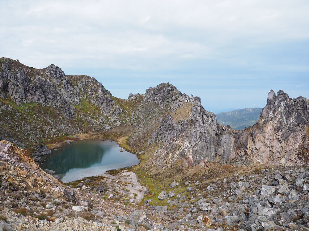
The photo above is of the volcanic lake that lies between the North Summit and the South Summit. If you turn left you can see the South Summit, but because the rocks there can easily collapse, it is off limits. From here, it is only a little bit further to the top. Walk along the ridge and crawl over the last very steep rock, and you’ve arrived at the top!

The volcanic gas that continues to blow through the crevices between the rocks makes it seem like Mt. Yake is breathing.
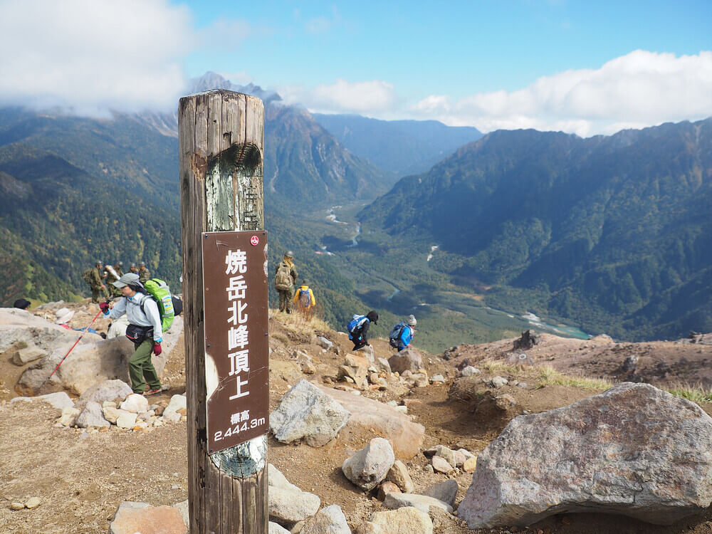
After slowly climbing the mountain, we arrived at the summit a little past 9:00. While you usually look up to Mt. Yake from the ground, you can now see the entirety of Kamikochi from its summit, and it will immediately take away your tiredness from climbing. As you take in the stunning scenery at the summit, it’s okay if you want to rest for a bit, but due to the strong sulfur smell near the top it’s best not to stay too long.
Can you see the Taisho Pond and Kappa Bridge?
Be careful when going down, because the slope is gritty and slippery due to the pebbles and sand and this will continue for a while. At around 40 minutes away from the summit, there is a viewpoint where you can choose to have lunch. However, as there is no shade from the trees and rocks, people who would like to take a proper break have to continue a little further and aim to go to Mt. Yake’s mountain hut.
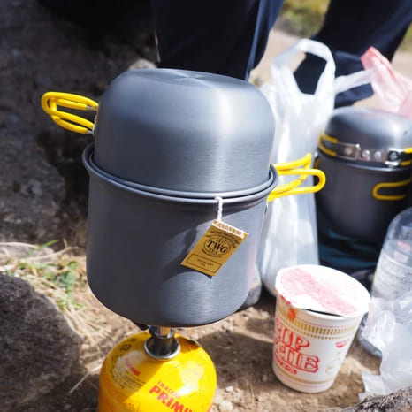
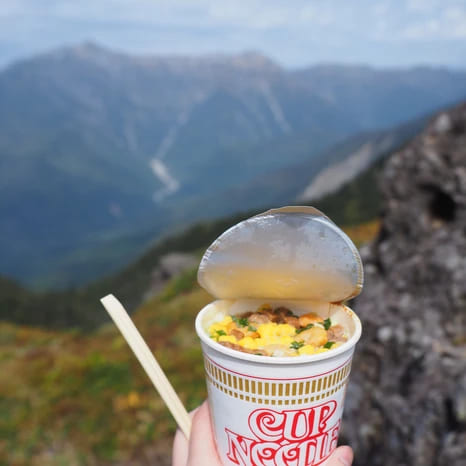
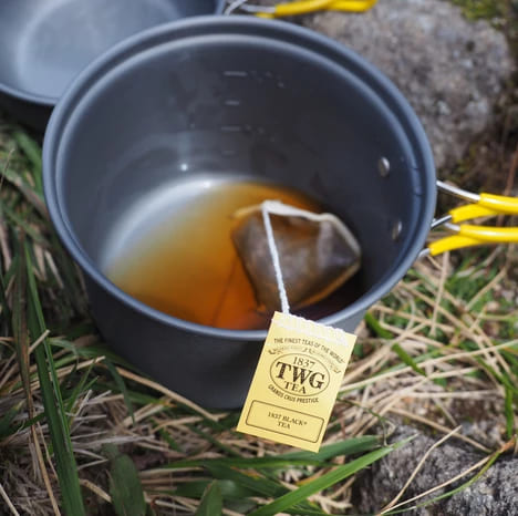
Drinking TWG’s black tea and eating some cup ramen as we gaze at the panorama – what a luxurious lunch this is!
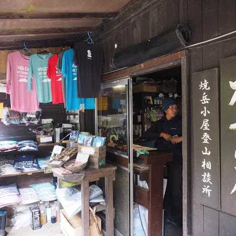
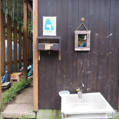
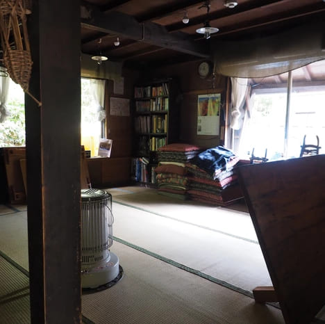
Mt. Yake’s mountain hut. Here you will find the only paid toilet (100 yen), and they’re also selling souvenirs and drinks. Outside the mountain hut, there’s a table and bench so it’s a recommended spot for a midday break.
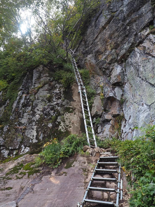

Do not forget to bring a pair of non-slip gloves as there are places on the way where you would have to use a rope to get down rocks or use a ladder. Once you hear the murmur of the river, you will know that you’re getting close to the trailhead on the other side.
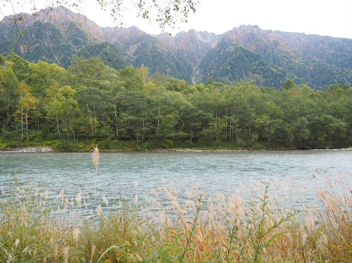
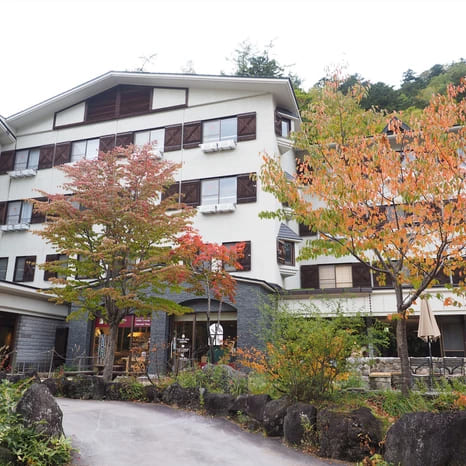
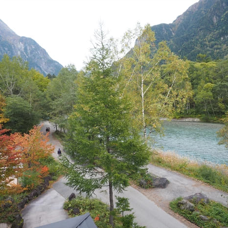
After going down for about 2 hours from the top, you will finally arrive at the trailhead at around 14:00. If you turn left here and then go straight, the Azusa River will appear before your eyes. Because there’s no better reward than bathing in a hot spring after some mountain climbing, we’ve decided to spend the night at Kamikochi Lemeiesta Hotel.
Tip! This time we’ve introduced the inner climbing route going from Shin-Naka no Yu to Mt. Yake and then to Kamikochi, but you can also turn it around. For example, if you go to Kamikochi the day before and go sightseeing around the basin area, then afterwards stay in a hotel that’s close to the trailhead, you can start mountain climbing the following morning and climb down from the Shin-Naka no Yu side, and then take a bus back to the city from the N-26 Nakanoyu bus stop.
Recommended Hotel in Kamikochi
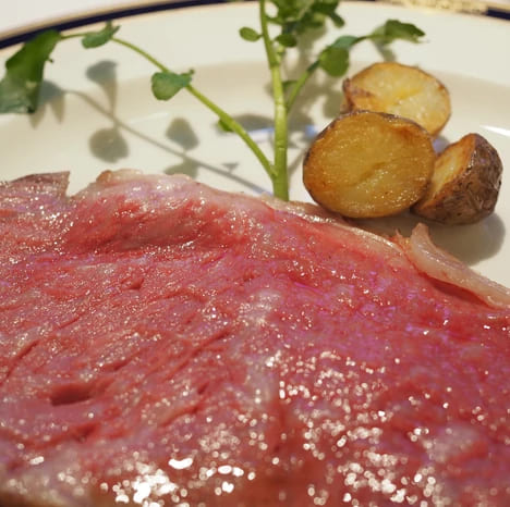
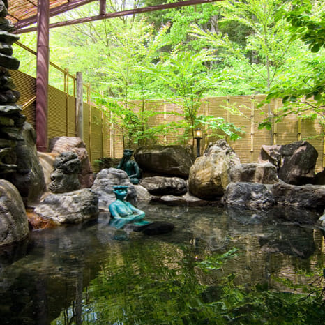
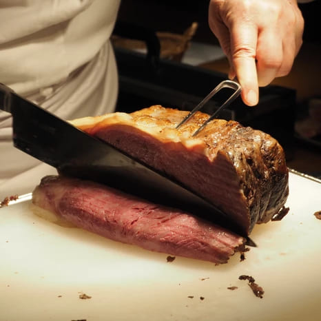
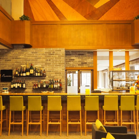
Kamikochi Lemeiesta Hotel is one of only two places in Kamikochi that has a natural hot spring. Because it takes less than 15 minutes to get there from the trailhead, this accommodation is highly recommended. Natural hot spring, the Azusa River right in front of your eyes, a soft bed, roast beef that melts in your mouth and delicious French cuisine – they’re all waiting for you here.
Kamikochi Lemeiesta Hotel’s Photo Gallery


While climbing Mt. Yake, you will meet many mountain climbers, from grandmas and grandpas in their 60~80’s or families with their elementary school-aged child(ren). In Japan, you will find a lot of older mountain climbers, or even relatively young ones. Although this mountain climbing route can be done as a day trip, that is not to say that you can just go up and climb Mt. Yake.
For anyone who barely exercises, it may be really hard to suddenly climb a mountain, so it is important to not be careless and to come completely prepared. In the mountain climbing guide book, the course is estimated to be around 5.5~6 hours, but please consider your own fitness level, listen to your body and go at your own pace.
Fun Fact! How many calories will you burn when climbing Mt. Yake as a day trip?
For a person with a weight of about 45 kg, they will lose 1,198 kcal
For a person with a weight of about 65 kg, they will lose 1,730 kcal
For a person with a weight of about 85 kg, they will lose 2,262 kcal
Source: yamaquest.com
Important Note
In the unlikely event that an accident happens, disaster relief operations can be started, so make sure to write down the climber’s name, age, contact information, climbing schedule and the equipment that will be carried on the Trekking Itinerary and submit this before you go mountain climbing.
How to submit the trekking itinerary(For Overseas Guests) :
1. Put it in the mailbox at the trailhead. However, please be aware that there are trailheads where there is no mailbox.
2. Submit the form via the following website. However, as this website will be automatically translated, it may be difficult to understand.(Website: https://www.mt-compass.com/index.php)
3. Submit the form via FAX to the following number: 03-6862-5035 (Nagano Prefecture). You can ask the accommodation where you stayed the previous night to send the FAX.
Download link for the Trekking Itinerary:
https://www.pref.nagano.lg.jp/kankoki/smartphone/documents/keikakusho.pdf
If you find these kinds of blogs useful and you would like to read our next blog entry, please follow us on Facebook!